

Texel walking network: routes, junctions and tips
Texel is now even more enjoyable to explore on foot! The new walking network was completed in 2025. Over 250 kilometres of paths, clearly signposted with junctions. This allows you to put together your own ideal route, from village to dune and from forest to beach.
Using the walking network
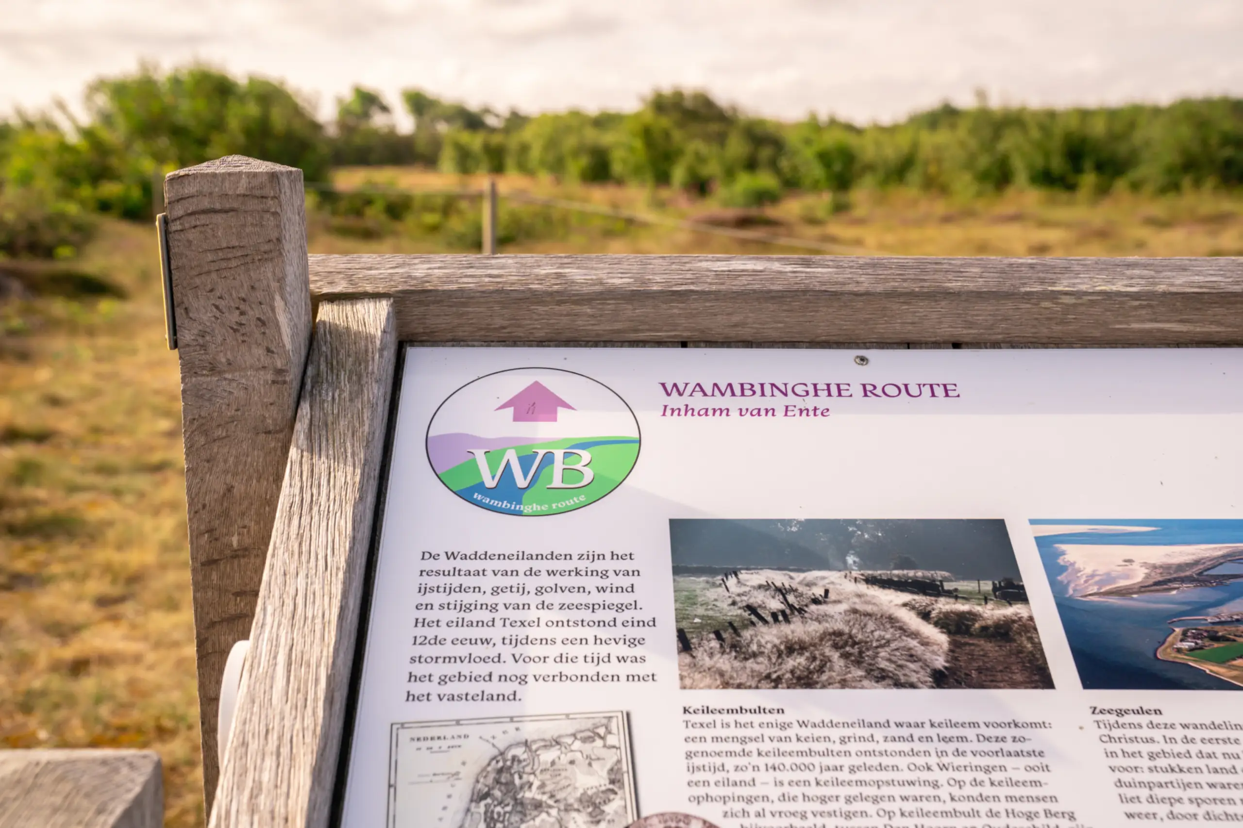
You can use the digital planner, Walking Network app or the Map of Texel to plan a route. Or start at one of the 20 starting points, where an information panel will help you choose a route.

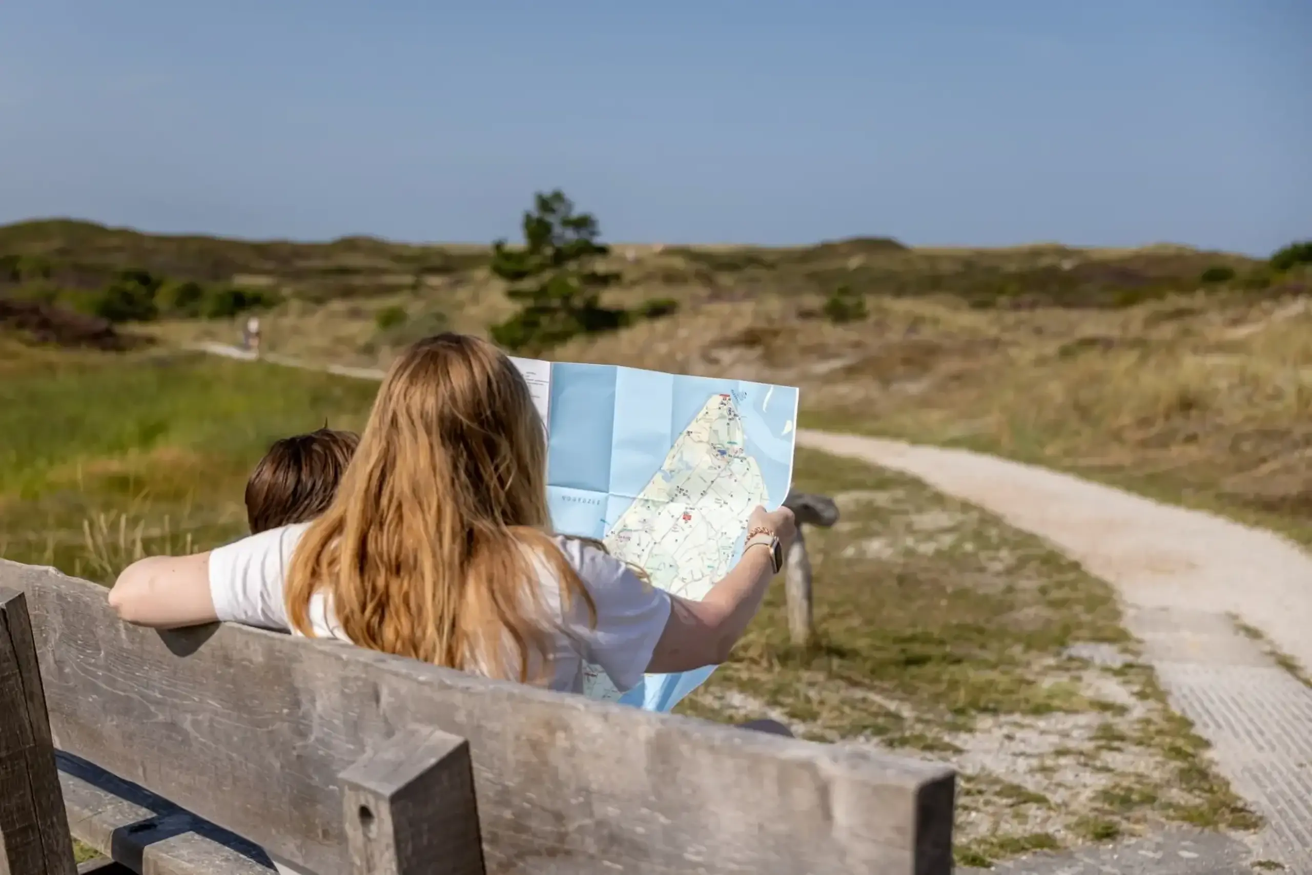
Curious about how it works and what you can expect along the way? Below, we answer the most frequently asked questions.
Frequently asked questions about the Texel Walking Network
The Texel Walking Network consists of almost 250 kilometres of paths, all connected via a clear junction system. This allows you to follow the coloured circular walks or put together your own walking route using the junctions, from a short stroll through the village to a day trip through the dunes, woods and polders.
The network is part of the province-wide North Holland Walking Network and was created through collaboration between the Municipality of Texel, Staatsbosbeheer, Natuurmonumenten, ANLV De Lieuw Texel, the Central Government Real Estate Agency on behalf of the Ministry of Defence, VVV Texel and Recreatie Noord-Holland. The province of North Holland subsidised the construction. The municipality, STIFT and VVV Texel also contributed.
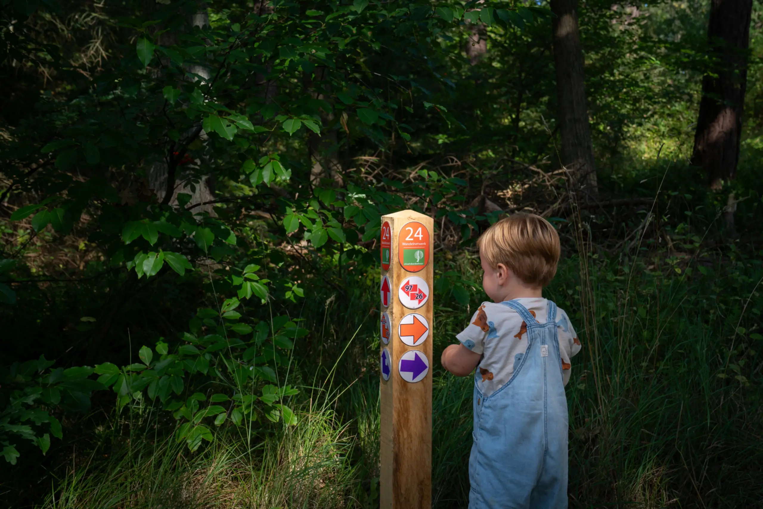
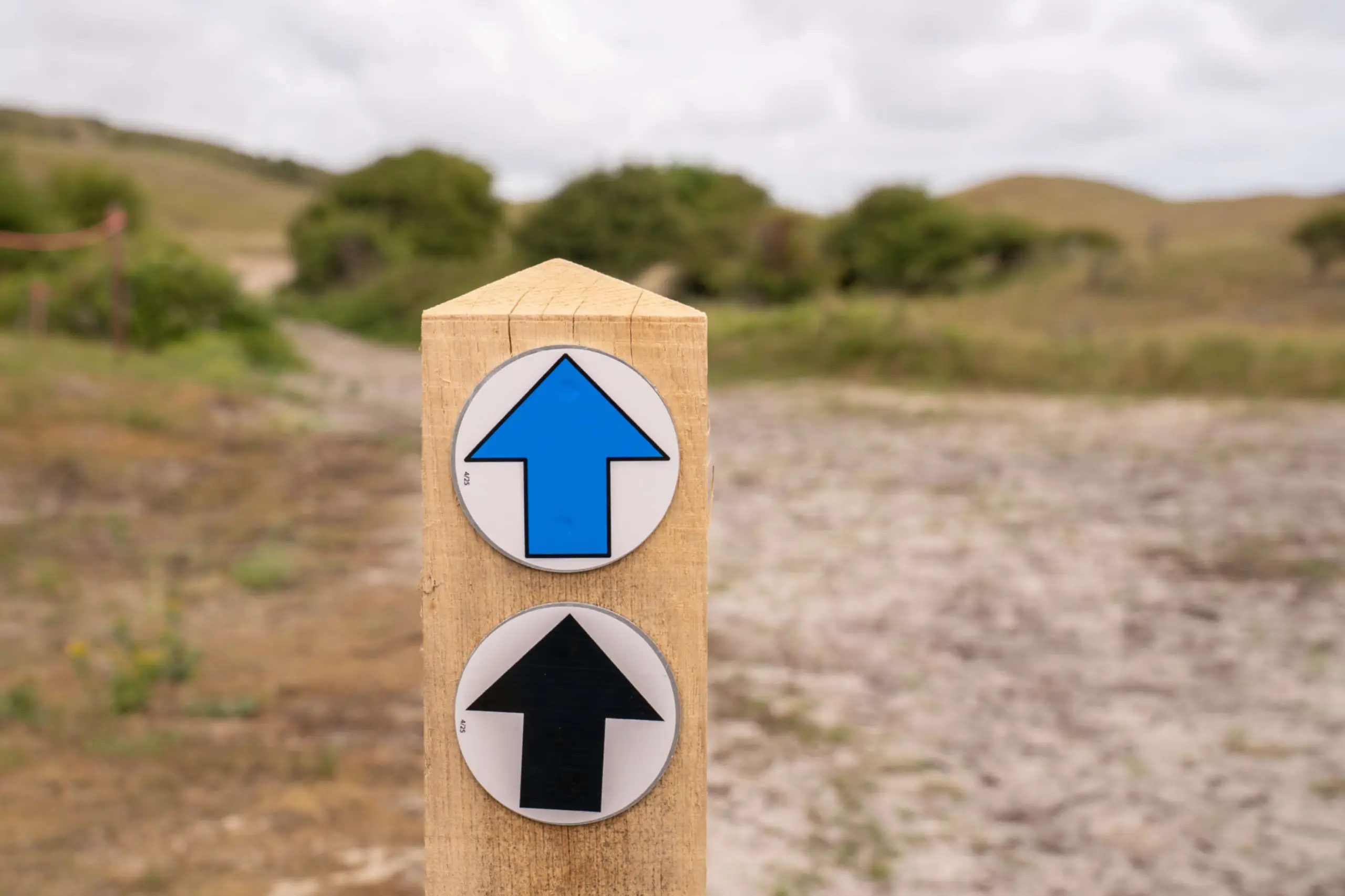
The Texel walking network is a hybrid network, where you can choose a coloured circular walk or put together your own route based on the walking junctions.
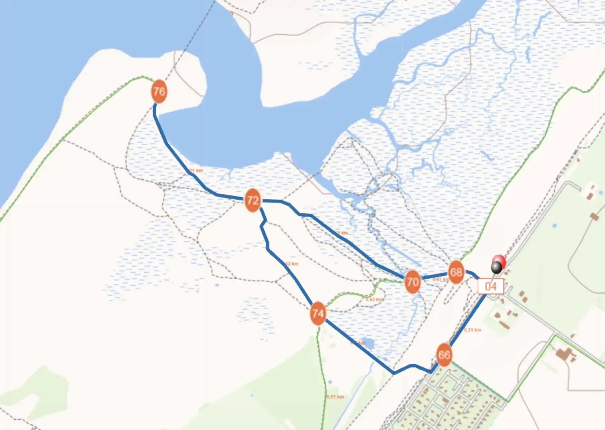
There is a numbered post at each walking junction. If you follow the same colour, you will return to your starting point after a round trip. You can start your walk at one of the 20 starting points, where an information panel will help you choose a route, or you can start at any point along the network. At a junction, you can also change colours and follow the arrow to a different number, allowing you to follow your own series of junction numbers and string together sections of the different routes. Along the way, you can decide whether you want to extend or shorten the route.
Tip: use the digital planner or Walking Network app to plan a route in advance, so you know how many kilometres you will be walking and what you will encounter along the way. Or purchase the Island Route booklet in our shop or online in the Texel Shop (currently only available in Dutch and German).
The Texel walking network can be viewed in several ways:
- Digitale planner: via the North Holland Walking Network website. There you can easily plan your route.
- App: with the Walking Network app, you can follow routes on the go.
- Map of Texel: this map provides an overview of all walking junctions; it is available to buy from our shop.
This allows you to choose what is most convenient for you.
Yes, we get this question regularly. We will look into how we can incorporate the new routes into a map or booklet.
Yes, many of them have been integrated into the new network. You can now follow them via the junction structure.
It is possible to indicate in the route planner that you want to avoid unpaved paths. However, there may still be steps or high thresholds. At the same time, there are also semi-paved paths that are accessible to wheelchairs and pushchairs.
Dogs are welcome in many places. However, rules such as leash requirements and sometimes bans often apply in nature reserves and on farmland paths. This is always clearly indicated at the entrance to an area.
You can also find the rules in the route planner of Wandelnetwerk Noord-Holland. Under my preferences, you will find the option to show routes where dogs are (partially) allowed to run free, or to plan a route that avoids routes where dogs are prohibited.
Yes, many routes pass through villages, beach pavilions, cafés and restaurants. This allows you to take a break along the way or finish off with a Texel snack and drink.
No, you don't. You can choose a starting point and use the information panel to choose a colour-coded route or combine different routes. For longer trips, it is useful to plan your route in advance. Would you rather not puzzle over the junctions yourself? Then choose the Island Routes booklet: a handy booklet with 11 beautiful walking routes and 4 cycling routes. The booklet is available in our shop or in our Texel shop.
More about walking on Texel


Sign In
Do you want personal tips for your holiday? Then sign up for the newsletter